Crooks Fire’s Burned Area Emergency Response Team says post-fire dangers still exist
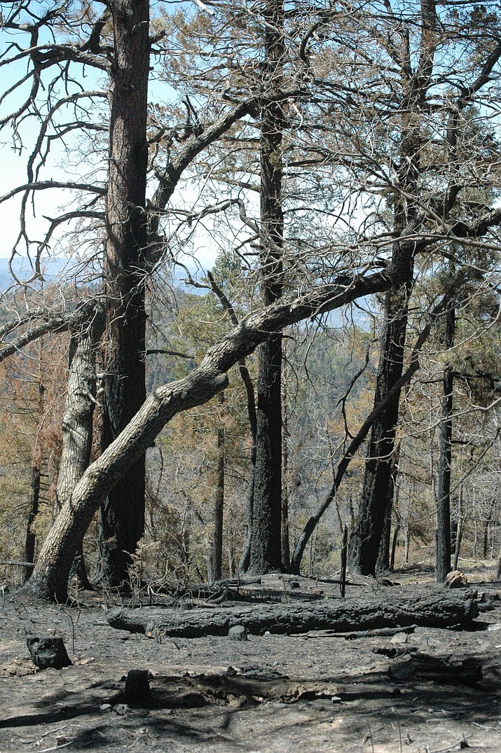
Part of the Crooks Fire burn scar near Kamp Kipa south of Prescott. (Doug Cook/Courier)
Prescott National Forest’s Burned Area Emergency Response (BAER) Team has completed its post-fire assessment on the Crooks Fire, which remains 96% contained 12 miles south of Prescott.
A Forest Service news release stated Wednesday, May 25 that the BAER Team reported the area impacted by the fire poses post-fire risks to public safety.
“High and moderate burn severity areas pose the greatest risk and are potential sources of unstable soils and rock, falling trees and increased flooding,” the release stated.
“Public hazards have been identified within the fire footprint and downstream of the fire scar. Post-fire hazards are of particular concern during summer monsoon events.”
MORE ABOUT BAER TEAMS
BAER teams focus on emergency actions that are needed to protect human life and safety, property and natural and cultural resources, including impacted watersheds.
“BAER assessments identify unacceptable risks on federal lands from post-fire threats and help land managers prepare burned areas for potential threats from rainstorms,” the release added. “Burned areas often experience increased soil erosion and runoff from rainstorms.”
To mitigate post-fire risks, the BAER Team identified the following treatments:
• Installing signage on strategic roads and trails, warning the public of post-fire risks;
• Storm-proofing culverts on Senator Highway Culvert storm proofing on Senator Highway; and
• Surveying for Dalmatian toadflax, a federally- and state-listed noxious weed, in selected areas.
USE CAUTION DURING MONSOON RAINS
Everyone near and downstream from the Crooks Fire’s burned areas should stay alert and updated on weather conditions that may result in heavy rains over the fire’s burn scars, the release stated.
“Flash flooding may occur quickly during heavy rain events – be prepared to take action,” the release added.
For current weather and emergency notifications, visit the National Weather Service’s website at bit.ly/3Nw0tGc.
MORE INFORMATION
To view the Crooks Fire Burn Severity Map, visit bit.ly/3PTNL6q.
For information about the Prescott National Forest, visit fs.usda.gov/prescott/, facebook.com/PrescottNF and twitter.com/PrescottNF.
Sign up for our e-News Alerts
SUBMIT FEEDBACK
Click Below to: